Introduction

While weather describes the state of the atmosphere at a given time and place, climate represents the average meteorological conditions that prevail in a particular location or region over a long period of time. Weather changes rapidly, within minutes and hours. Climate varies much more slowly, usually over scales of decades and is often summarized in terms of monthly or seasonal averages.

Climatological information can be presented as a statistical summary of weather parameters over time.
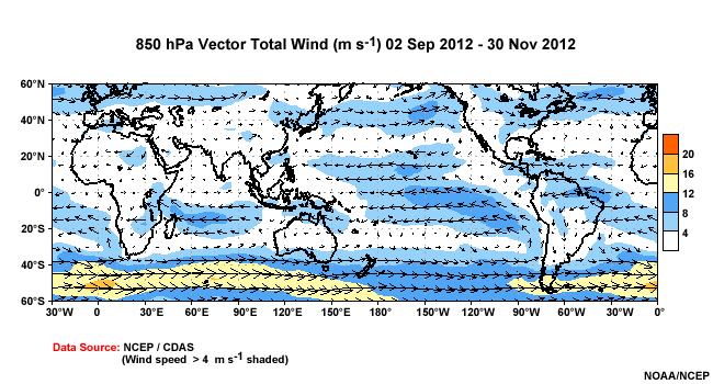
Average and record high and low temperatures, prevailing winds and currents, and significant wave heights are all climatological parameters. This information offers important guidance for weather-dependent operations.

Planning for a range of tasksincluding facilities siting, ship deployments, or plane and helicopter maneuverscan be aided tremendously by knowledge of the climatology for the region of interest.
In this module, we'll examine the climatological information useful in planning a ship deployment across a large area of the globe.

After completing the content, you'll be able to:
- Describe climatology and its use and limitations for operations
- Identify the products available to Navy users and methods of representing climatic elements
- Summarize different types of climatological information, including products available through the Advanced Climate Analysis and Forecasting (ACAF) system (accessible to DoD users only)
- Develop a climatological brief containing the necessary elements for naval operations